|
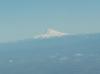
Mt. Hood (70 NM ENE) overlooks the Willamette Valley. Independence State Airport is near the bottom center of of this photo. Look for the group of white hangar roofs.

|
Closeup of the FBO, Restaurant, Ramp and the EAA Chapter 292 hangar (the large building just right of the ramp).

|
The city of Independence from the South. The airport is just about center of the photo.

|
Long Final, 34. The Airport is just north of the sewage treatment ponds. Obviously, landing short of the runway is not advised.
|
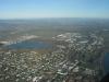
The City from Southeast. The Willamette River is at the right of this photo. Note plenty of emergency landing areas to the North and West of the airport.

|
From the Southeast -- entering left downwind for 16.

|
From the East -- on left downwind 16. Here you can clearly see the Residential Airpark on the east side of the airport. Notice how the streets are cul-de-sacs from the East and the taxiways in the backyards are cul-de-sacs from the west. Aircraft and autos do not compete for right of way.

|
From the Northeast -- still on downwind.

|
From the North - turning final for 16.

|
From the West -- on left downwind 34.
|
Local landmark Mt. Hood (11,239') is 70 nm ENE. If 11,000 feet doesn't sound very high, remember that the airport is only 176 feet above sea level.

|
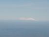
Another landmark -- Mt. Jefferson (10,497') is 62 nm ESE.
|
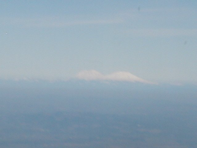
Mt. Ranier (14,410'), 140 nm NNE and Mt. St. Helens, (8,365'), 90 nm NNE.
| | | | | | | | | | | | |